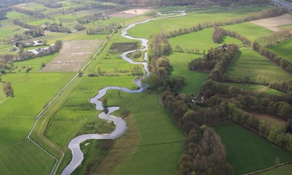
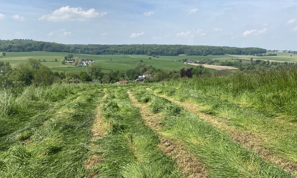
The Brabantse Delta encompasses the Upper Mark, Aa or Weerijs, and Watermolenbeek catchments. Spanning over 1400 km², about 1/3 lies in Flanders and 2/3 in the Netherlands. Key waterways include the Watermolenbeek, Aa or Weerijs, and Boven Mark. These streams flow to the Volkerak Zoommeer via the Mark-vliet system.
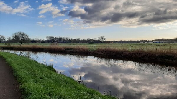
The Wildertse Beek rises on Kalmthoutse Heath, becoming Kleine Aa in Essen. In the Netherlands, it's the Watermolenbeek, mostly canalized. Water levels are regulated by weirs, notably in Roosendaal. The subsoil is sandy, with agricultural fields and grasslands covering nearly two-thirds of the catchment. Urban areas like Roosendaal split the flow, with discharge measurements at Essen and Gastelsveer.
A little further to the east is the basin of the Aa of Weerijs (confluence of the Kleine and Grote Aa). Originally, the area was a vast swampy area, with less dynamic discharges than nowadays. The area has been heavily drained for agriculture in the 19th century. In addition to grasslands and arable land, the brook valley also has substantial high-quality tree cultivation. Larger centres are Zundert, Rijsbergen and Breda. Discharge and water level measurement are kept at Brecht, Wuustwezel and south of Breda.
Slightly further east, the (Boven-)Mark meanders. This is a typically rainwater-fed lowland stream, which has distinct peaks in discharge and decreases sharply during dry periods. Upstream of Castelré can still be characterised as a naturally meandering stream with flow. Downstream of the mouth of 't Merkske, both the Flemish and Dutch parts of the Upper Mark have been normalised. During normalisation, the stream was deepened and widened and equipped with weirs. This aimed to prevent flooding due to excessive rainfall and optimise water management for agriculture. Much of the catchment has an agricultural function. Discharge and water level measurements are available for Minderhout, Merksplas, Meer, Mark Weir A-E and Weir de Blauwe Kamer.
1.450
Square kilometers
40m
Height difference
14%
Urban area
375.000
Buildings
Upcoming research:
For these river basins, a joint transnational stresstest is under development. With a stresstest, we try to investigate the resilience of the water systems for extreme weather conditions and identify which measures may be considered to become better prepared for these extreme floods and droughts. Read more details about this research in our magazine.
Publications in this basin
Global analysis of impacts from supra-regional flooding in the Brabantse Delta (Dutch)
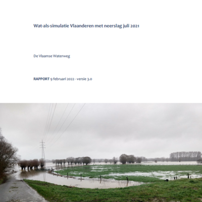
What-if simulation in Flanders with precipitation July 2021 (Dutch)
Resilient Waterland - Weerbaar Waterland (Dutch)
Advice on droughts Brabant: Zonder water, geen later (Dutch)
Scoping Cross-Border Stress Test for Flemish-Dutch Streams (report in Dutch)


