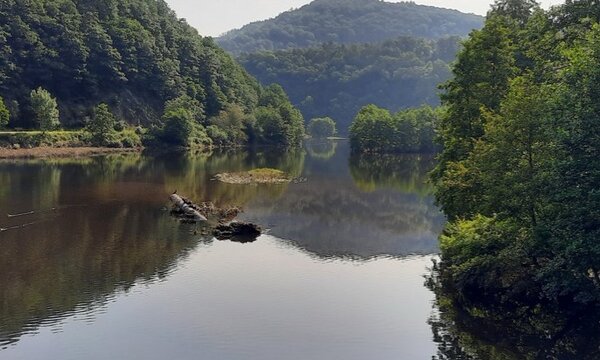
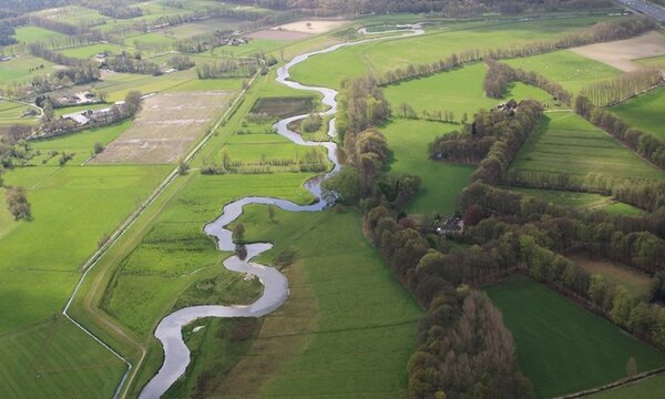
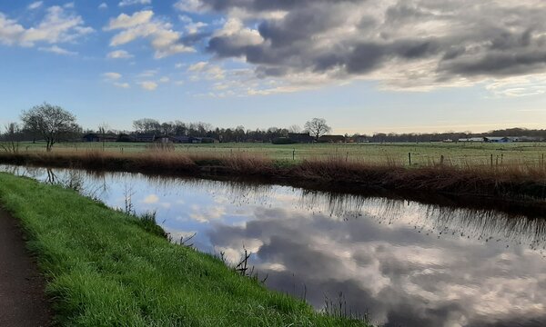
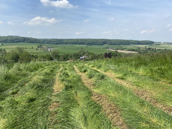
The Belgian part of the Geul river basin is characterised by a relatively rapid response to precipitation compared to the Dutch part of the basin. This is caused by the fact that in this part the soil is thin and lies on poorly permeable rocks.
The catchment has a lot of grassland (46%), arable land (19%) and forest (20%), in addition to buildings (12%), roads (5%). The landscape thus comprises much rural area and rather little built-up area. Many towns and villages are located in the stream valley, where water regularly flows through a narrow village centre. These centres are therefore prone to flooding. To reduce the the risk of flooding, throughout the catchment area - and especially in the tributary streams - many rainwater buffers have been constructed. These reduce discharge peaks. The rainwater buffers are mainly intended to absorb locally heavy rain showers (for recurrence times of about 10 to 25 years).
Valkenburg is one of the locations where the stream flows through a town centre. The town lies in the floodplains of the Geul, about 10 km upstream of its mouth in the Meuse. Valkenburg is therefore one of known bottlenecks where flooding occurs when there is extreme precipitation throughout the Geul river basin. From the Geul river's perspective, the buildings in Valkenburg are obstacles, creating this bottleneck. This issue is less pronounced in the other villages along the Geul.
340
Square kilometers
300
Height difference
12%
Urban area
75.000
Buildings
Upcoming research:
In this river basin, JCAR ATRACE current focus is on (1) comparing different flood models and their capacity to quantify the impact of nature-based solutions on mitigating the consequences of extreme events (more info), (2) installing climate-robust water and debris monitoring systems (more info) and (3) effectiveness of flood adaptation measures at household-level (more info).
Publications in this basin
What-if simulation in Flanders with precipitation July 2021 (Dutch)
Watersystemanalysis Limburg 2021 (Dutch)
Rapid assessment study on Geul river basin
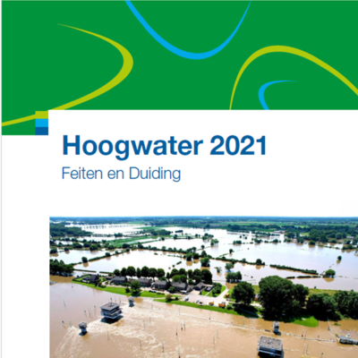
Hoogwater 2021 Facts and interpretation (Dutch)
Resilient Waterland - Weerbaar Waterland (Dutch)
Enhancing resilience: Understanding the impact of flood hazard and vulnerability on business interruption and losses
Flood drivers and trends: a case study of the Geul river catchment (the Netherlands) over the past half century
Forestation can mitigate extreme floods in the Meuse basin
Investigating the Implementation of Nature-Based Solutions in the Geul Catchment using Numerical Modelling
Evaluating nature-based solutions for flooding in the Geul catchment using openLISEM
