Almost two-third of the Berkel river basin is situated in Germany (Nord-Rhein Westfalia), where a large part of the basin (more than 80%) is used for grassland and arable land. Towns located in the basin are Stadtlohn, Vreden, Ahaus in Germany and Groenlo, Eibergen and Lochem in the Netherlands.
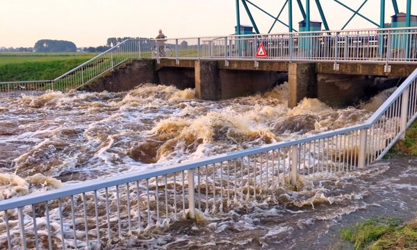
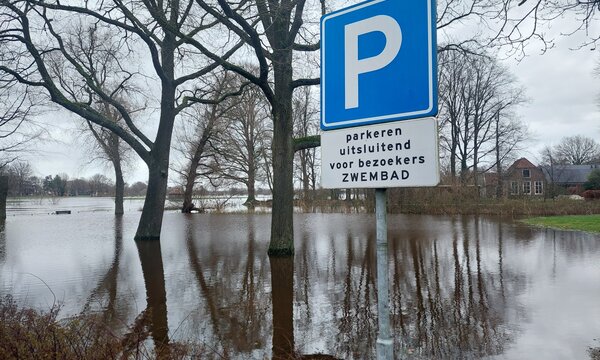
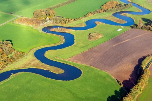
To maintain the waterlevel, numerous weirs have been placed in the Berkel. In recent years, river restoration projects have been carried out both in the Dutch and German sections, again introducing bends and floodplains. The Berkel is a typical rain river, meaning that large variations in flow occur. Branches have been constructed at three places in the Berkel to drain excess water to the Twente Canal and prevent flooding of Lochem and Zutphen.
The Groenlose Slinge is fed by the Whemerbeek, Ratumsebeek and Willinkbeek, which also have their origins in Germany. Between Lochem and Borculo, the Groenlose Slinge flows into the Berkel. To regulate the water level, 32 weirs have been constructed in the Groenlose Slinge. Almost all of these are fixed weirs; only the Beekvliet weir can be regulated.
800
Square kilometers
100 m
Height difference
7%
Urban area
270.000
Buildings
Upcoming research:
Planned research for the Berkel river basin within JCAR ATRACE will focus on the joint development of transnational stresstest, flood models, early warning systems and assessment of the adaptability of governance structures to weather extremes in the border region.
Publications in this basin
Scoping Study of the Vechte, Berkel and Oude IJssel river basins
